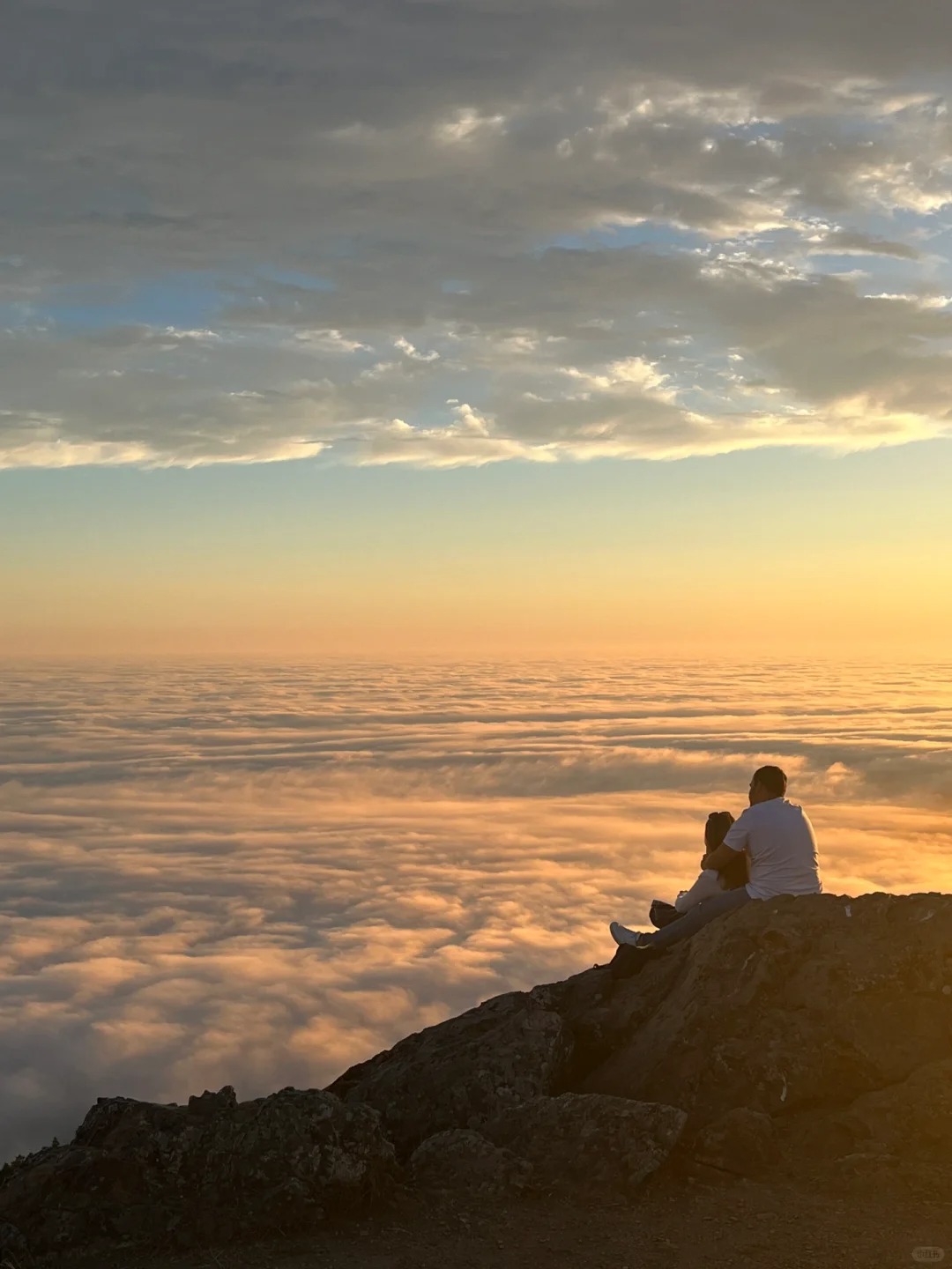
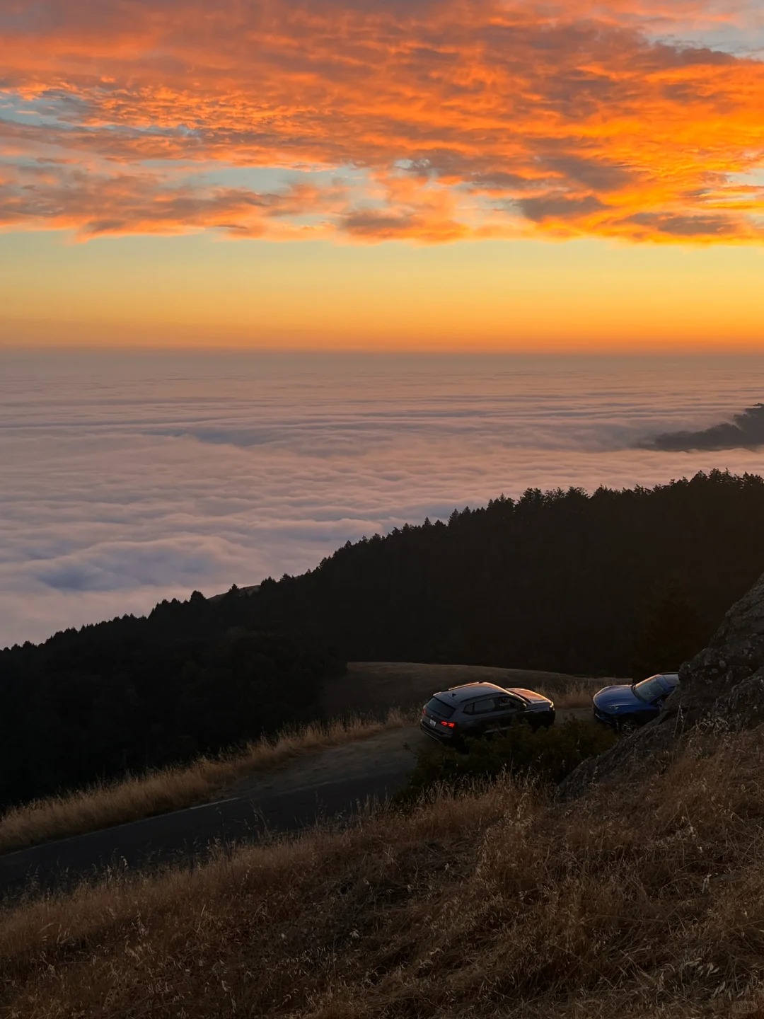
Isn't hiking just for this moment!
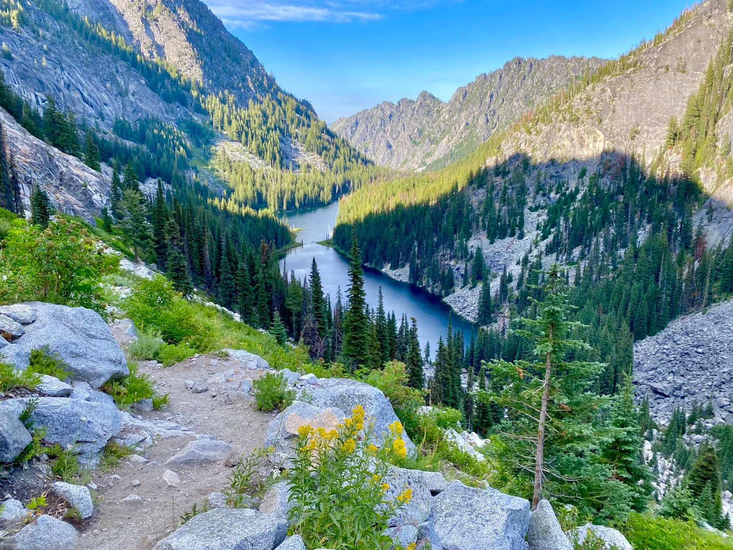
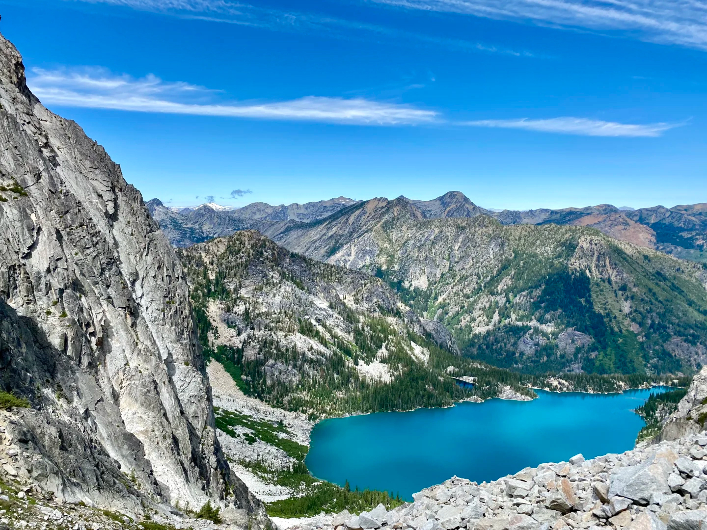
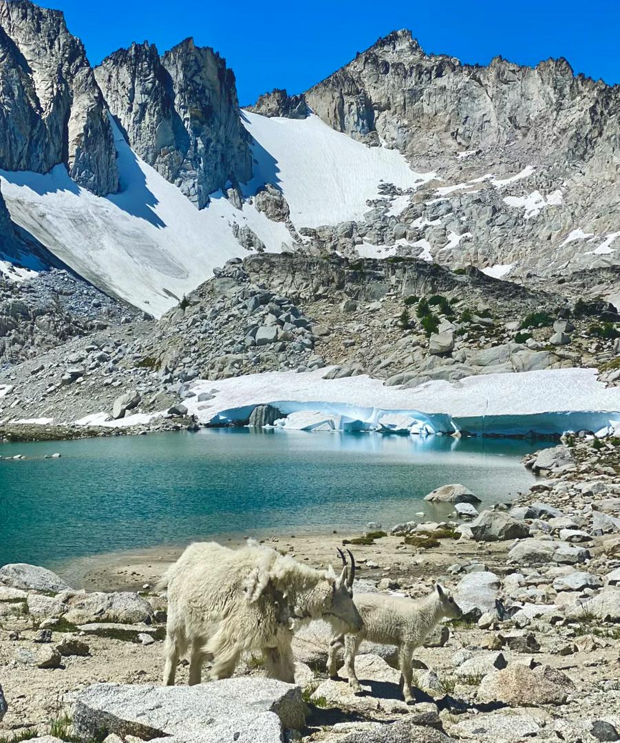
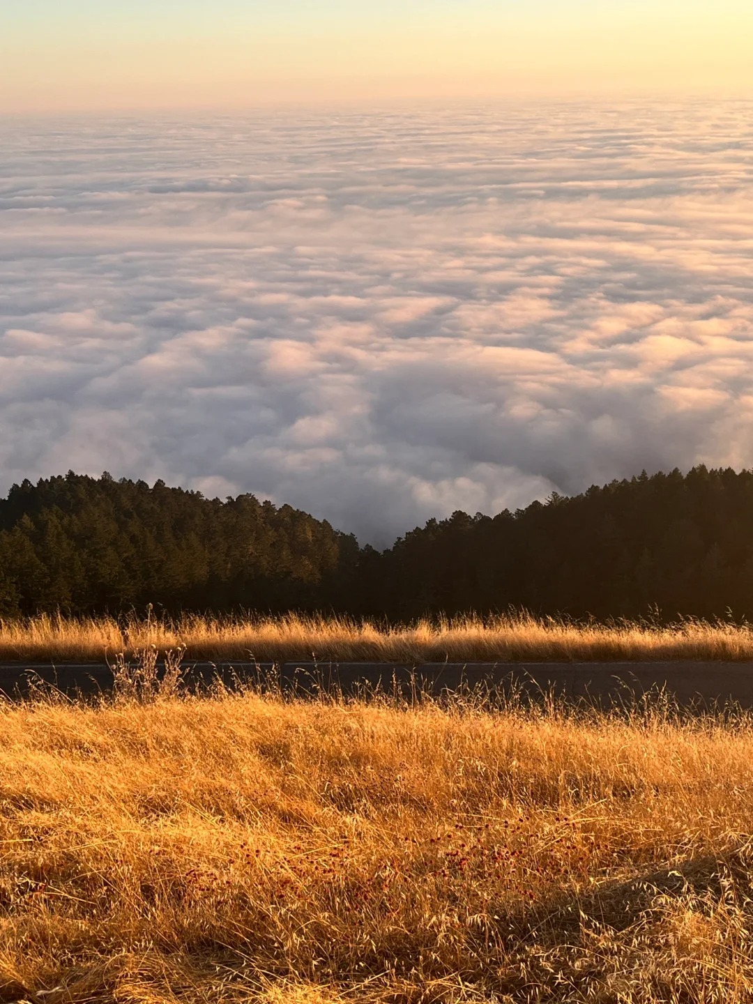
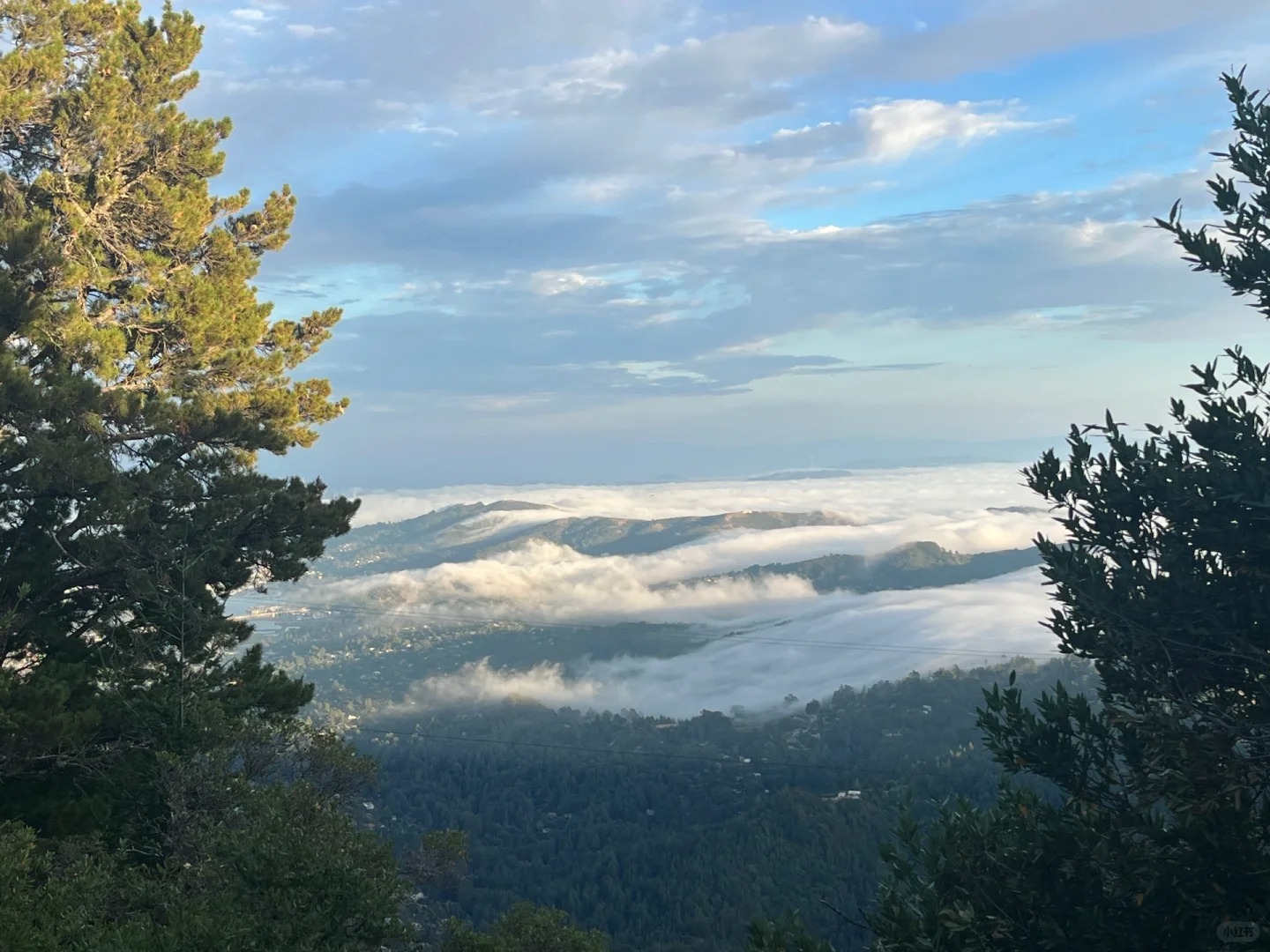
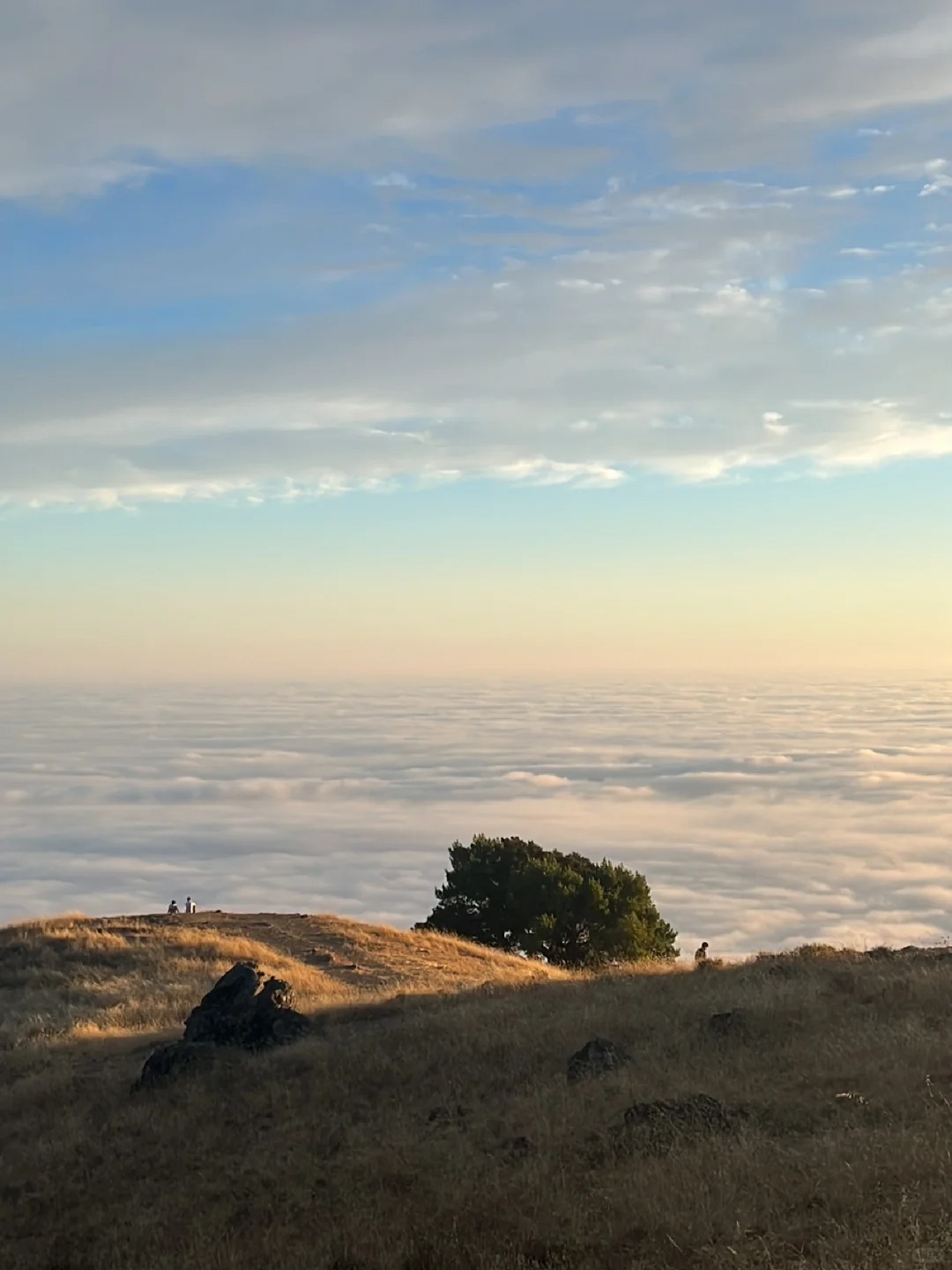
I spent another brilliant summer in the mountains
12 hours away from the world, 14 kilometers back and forth, 8 hours on foot, no signal throughout the entire journey
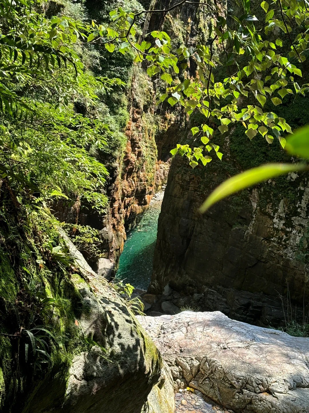
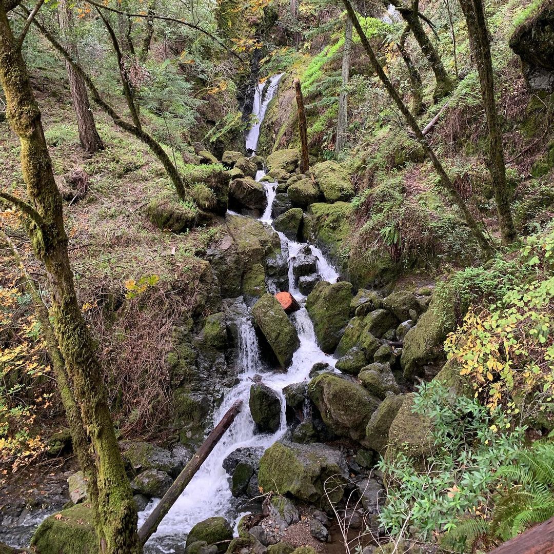
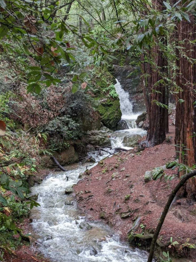
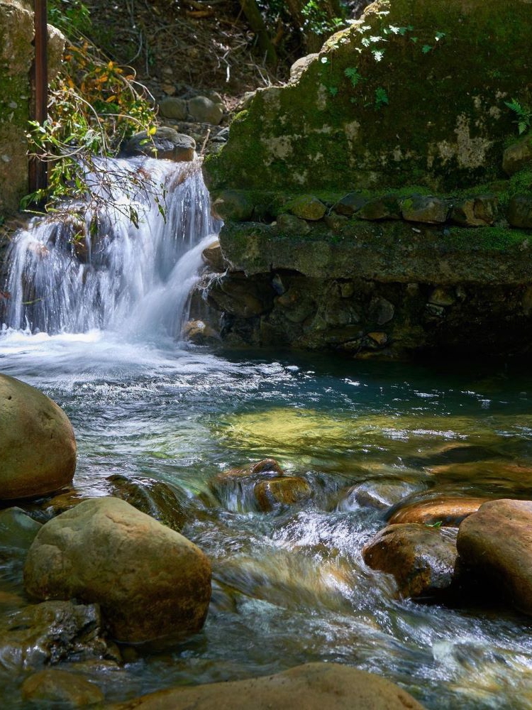
Departing at 7 o'clock in the morning, crossing mountains and ridges for 4 hours to reach the stream tracing point. Jumping over a giant rock into the cool stream water, the water shimmers in the sunlight and is clear and transparent, allowing for a clear view of every stone in the water
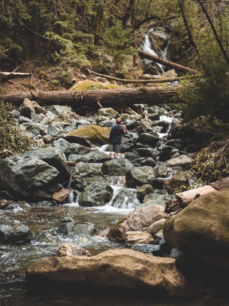
After swimming, cook and eat on the shore. Descending the mountain along the stream, some places require rope descent almost vertically; Some places can only jump down waterfalls and swim there, it's so fun!
I am constantly bitten by mosquitoes in the city, but in the mountains, I have not been bitten by any mosquitoes all day (even without wearing pants on the return trip)
I encountered many beautiful butterflies, and the spider webs shone with golden light, making me mesmerized.
Before departure, there was still a butterfly perched on me, as if summoning me: 'Come quickly!'
Swimming through nature, I no longer want to go to any water park
#Sports #Hiking #Creek #Summer