1/1
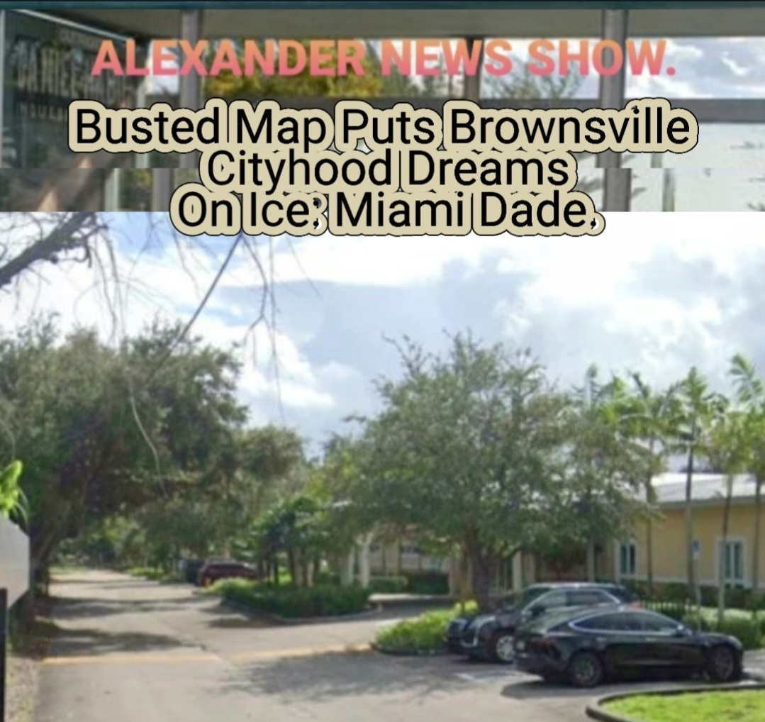
Busted Map Puts Brownsville Cityhood Dreams On Ice: Miami Dade. A mapping error inside Miami‑Dade County government has thrown cold water on early discussions about whether Brownsville could pursue cityhood, according to county records and officials familiar with the issue. The mistake — involving outdated boundary layers used in internal planning documents — incorrectly suggested that portions of Brownsville overlapped with neighboring jurisdictions. County staff later confirmed the map was inaccurate, noting that the affected areas remain fully within unincorporated Miami‑Dade. The correction effectively pauses any momentum behind local conversations about incorporation, since accurate boundaries are a prerequisite for feasibility studies, taxation models, and service‑delivery projections. Some community advocates have said the mapping issue highlights long‑standing concerns about how unincorporated neighborhoods are documented and prioritized. County officials stated they are reviewing internal mapping protocols to prevent similar errors. The Brownsville cityhood question is not officially dead — but for now, the county’s own cartography has put the brakes on any next steps. #Brownsville #Miaminews #MiamiDade #Alexandernewsshow.
Brownsville, Florida • 2026-04-08
write a comment...